
Science Nation: On the Road to Resiliency--Researchers Map Hurricane Sandy Impact in New York City
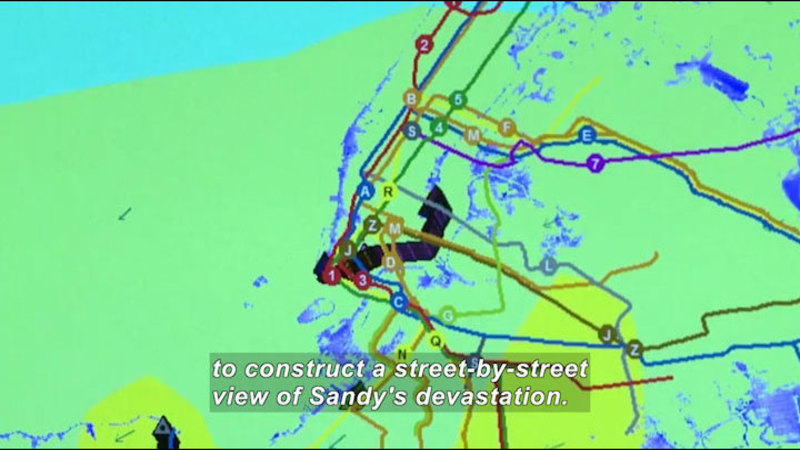
Hurricane Sandy was the deadliest of the 2012 hurricane season and was the second costliest hurricane in U.S. history. University of Washington civil engineer Dorothy Reed and her team received a grant from the National Science Foundation to study how Hurricane Sandy affected the infrastructure of the New York Metropolitan area, including the power and transit systems. Reed and her team area creating highly detailed maps to construct a comprehensive street-by-street view of Sandy’s devastation.
(Source: DCMP)
Metadata
- Subject:
- Earth Sciences - Science
- Keywords:
- weather
Files 1
-
Science Nation: On the Road to Resiliency--Researchers Map Hurricane Sandy Impact in New York City

- Type:
- Video
- Format:
- Streaming
- Accommodations:
- English Audio Descriptions - Visual, English Captions - Auditory
- Languages:
- English
- License:
- OER
- Author:
- National Science Foundation
- Length:
- 3 minutes