
Satellites
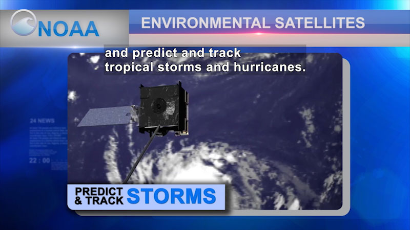
NOAA's environmental satellites provide data from space to monitor Earth to analyze coastal waters, relay life-saving emergency beacons, and predict and track tropical storms and hurricanes. NOAA operates three types of satellite systems for the United States: polar-orbiting satellites, geostationary satellites, and deep space satellites. Polar-orbiting satellites circle Earth and provide global information from 540 miles above Earth. Geostationary satellites constantly monitor the Western Hemisphere from around 22,240 miles above Earth. The deep space satellites orbit one million miles from Earth, providing space weather alerts and forecasts while also monitoring the amounts of solar energy absorbed by Earth every day.
(Source: DCMP)
Metadata
- Subject:
- Earth Sciences - Science
- Keywords:
- weather
Files 1
-
Satellites

- Type:
- Video
- Format:
- Streaming
- Accommodations:
- English Audio Descriptions - Visual, English Captions - Auditory
- Languages:
- English
- License:
- OER
- Author:
- National Oceanic and Atmospheric Administration
- Length:
- 3 minutes