
Lake Of The Sky: USGS Tahoe Basin Science
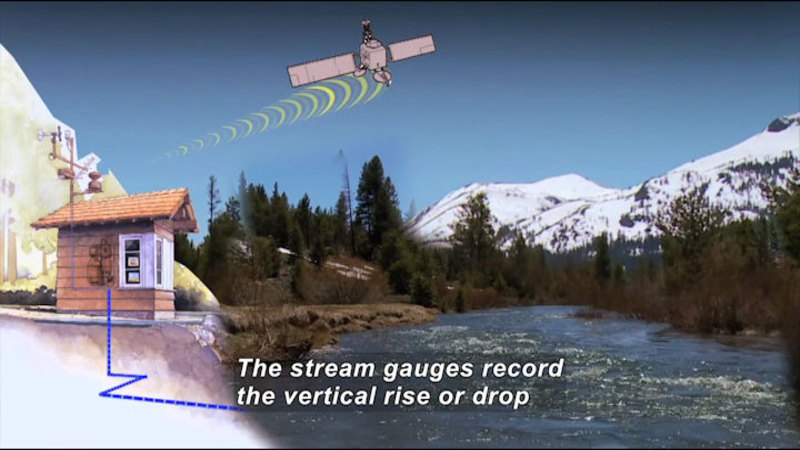
A documentary film highlighting recent and past USGS (US Geological Survey) research in the Lake Tahoe Basin. It features USGS science activities conducted by hydrologists, geologists, geographers, computer modelers, and biologists. Some of USGS science detailed includes water quality monitoring, streamgaging, and use of aerial photography. The use of consistent, reliable, long-term data and maps are crucial for evaluating and maintaining the lake and basin.
(Source: DCMP)
Metadata
- Subject:
- Earth Sciences - Science
- Keywords:
- science experiments, science methods
Files 1
-
Lake Of The Sky: USGS Tahoe Basin Science

- Type:
- Video
- Format:
- Streaming
- Accommodations:
- English Audio Descriptions - Visual, English Captions - Auditory
- Languages:
- English
- License:
- OER
- Author:
- U.S. Geological Survey
- Length:
- 13 minutes